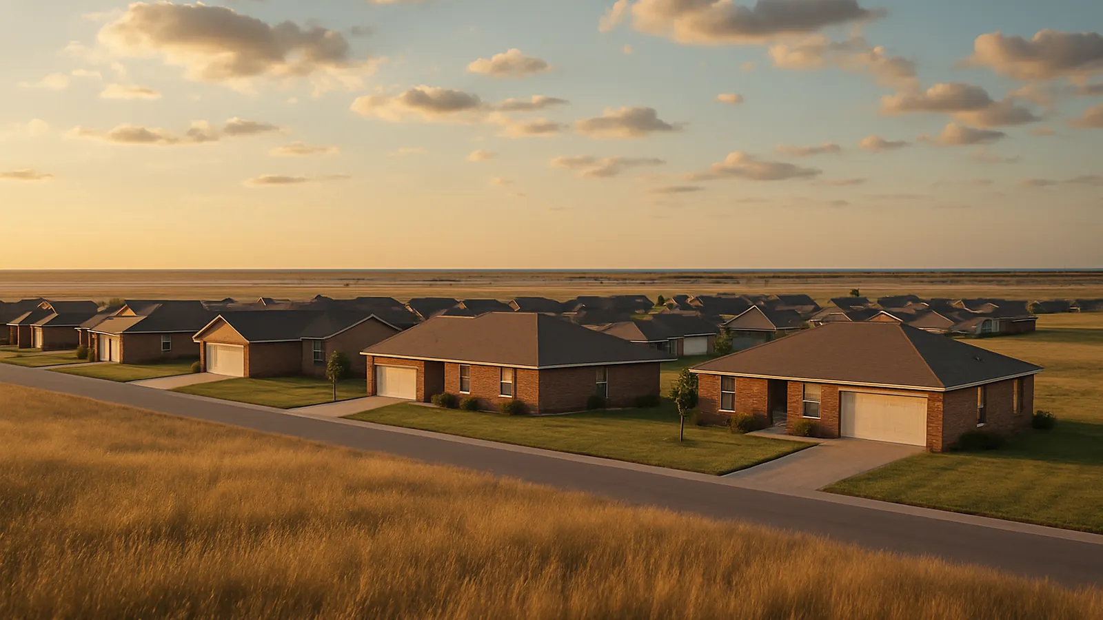
Fayetteville Foundation Co. serves Fayetteville plus Springdale, Rogers, Bentonville, Bella Vista, Farmington, Prairie Grove, Elkins, Greenland, and Lowell — elevation surveys across all of them, with travel quoted honestly rather than buried in the line items.
SpringdaleRogersBentonvilleBella VistaFarmingtonPrairie GroveElkinsGreenlandLowell
Every town covered, and what changes there
Each of these has its own page, because the ground and the housing stock are not the same across the region. The short version:
Springdale — The springs are the tell
Springdale takes its name from the springs that surface here, and a spring is not a decorative feature of the landscape. Read what that means for a Springdale property.
Rogers — Pasture to pad site
A great deal of Rogers housing sits on land that was agricultural within living memory. Read what that means for a Rogers property.
Bentonville — New houses move too
Bentonville has absorbed an enormous amount of construction in a short period, and new construction produces its own category of foundation problem. Read what that means for a Bentonville property.
Bella Vista — Steep ground, thin soil, open rock
Bella Vista was developed beginning in the mid-1960s across genuinely steep Ozark hills, and the terrain is the defining condition for foundations here. Read what that means for a Bella Vista property.
Farmington — Flatter ground, different driver
Farmington sits west of Fayetteville where the land opens up and flattens relative to the hills east of town. Read what that means for a Farmington property.
Prairie Grove — The name describes the soil
Prairie Grove sits on the open ground its name refers to, southwest of Fayetteville. Read what that means for a Prairie Grove property.
Elkins — Valley bottom, not upland
Elkins sits east of Fayetteville in the White River valley, and valley bottoms are their own soil environment. Read what that means for an Elkins property.
Greenland — Water arrives from uphill
Greenland occupies a narrow valley along the West Fork corridor south of Fayetteville, with higher ground rising on either side. Read what that means for a Greenland property.
Lowell — Fast conversion, recent fill
Lowell sits in the middle of the corridor that absorbed the most growth in Northwest Arkansas, and much of its residential development happened quickly on land that had been farmed. Read what that means for a Lowell property.
Four kinds of ground in one metro
The karst uplands — Bella Vista especially, plus much of the higher ground around Fayetteville and Springdale — have thin soil over dissolved limestone, steep slopes that concentrate runoff, and the region’s only real void-filling conversations. The growth corridor — Bentonville, Rogers, Lowell — is young houses on engineered fill, where movement typically shows up in years three through eight on the downhill half of a cut-and-fill pad.
The valley bottoms — Elkins and Greenland — sit where groundwater is closer to the surface and, in Greenland’s case, where upslope runoff crosses the lot before it ever reaches your downspouts. The open ground west and southwest — Farmington and Prairie Grove — is flatter, with more soil and more clay behavior, so movement there is more likely to reverse with the seasons than to be permanent. That variation is why nobody should quote pier depth from a phone call.
Three constants across all ten
The rock. Ozark Plateau limestone dissolved along its joints underlies the region. Where water concentrates, fine soil moves into those openings and does not come back.
Water is the mechanism. About 47.2 inches of precipitation a year, and what matters is where it lands. Spread across a yard it is harmless; delivered to one point it excavates. That is why drainage leads a sound scope and why correcting water is genuinely a structural act.
Depth is discovered, not quoted. The bedrock surface is pinnacled, so pier depth varies across a single lot. Count comes from the survey; depth comes from the ground.
What foundation repair costs across the region
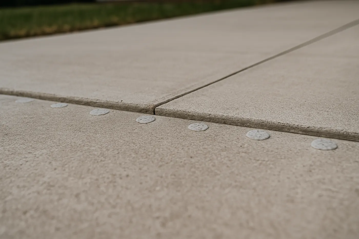
Pricing does not change by town. Full repairs run $4,000–$15,000, piers $1,200–$3,000 each, slab work $3,500–$12,000, and drainage correction $1,500–$6,000 whether the house is in Bentonville or Prairie Grove. What changes is which of those the survey calls for. The cost guide breaks every class out.
Somewhere between towns, or just outside this list? Ask — regional travel gets quoted honestly.
Service area questions
Is there an extra charge for towns outside Fayetteville?
Inside the nine communities listed here, Washington and Benton counties are normal service area; ask about any travel charge when the specialist calls. Beyond that, ask on the phone whether travel is charged, so it shows up as its own line rather than buried in others.
Is the ground really different from town to town?
The ground is really different from town to town, and more than most metros. Steep karst uplands, river-valley bottoms, open prairie ground west of Fayetteville, and hillside subdivisions on engineered fill all behave differently. Soil can even change inside one lot, which is why pier depth is established per house rather than copied from a neighbor's job.
How fast can you reach my town?
Across all nine, a local specialist calls you back to set a time, and how soon depends on their schedule. Buying? Mention your closing date when the specialist calls.
What does the evaluation include out in the county?
The same as in town plus a longer walk of the property: floor elevation readings, dated crack documentation, and the full exterior water path - drives, culverts, ditch lines, and upslope runoff. If work is needed, ask for a written scope with a price on each line.
What it means when a town is listed here
It means the first visit is available at your address on the same terms as in Fayetteville. A good evaluation there includes the same floor survey and crack measurements and a written scope afterwards. If a job is far enough out that travel is material, ask for that number as its own line before you agree to anything.
Foundation work is scheduled, not urgent — which means an outlying address costs you nothing in response time.
These 9 communities are the ones these guides cover in detail, with the ground described before anyone arrives. That is the honest boundary: not a radius drawn on a map, but the places documented well enough to recognise what a survey is showing.
Get a Fayetteville foundation evaluation
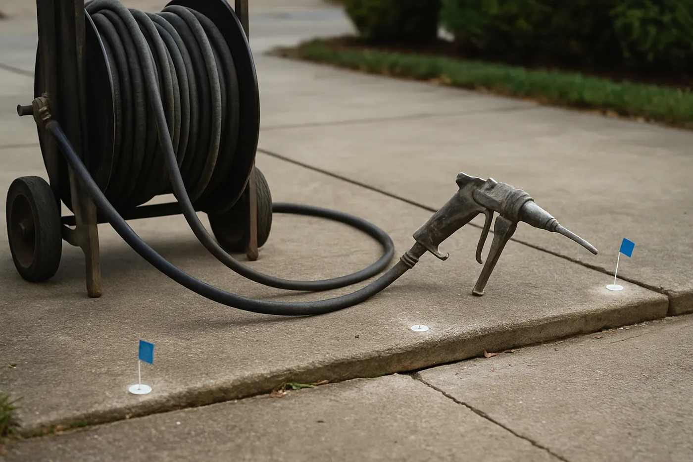
Tell us what the house is doing — a crack that keeps growing, a door that quit latching, a floor that dips toward one corner — so the evaluation starts from what you have seen. A local specialist serving Fayetteville calls you back.